“Thankfully, it’s not raining here. We’re safe.”
That was the reply I sent to my wife, ten minutes before the rain hit us in checkpoint 1, km 45—the rain that chilled us to the bone, the rain that set the tone for the remainder of the ride.
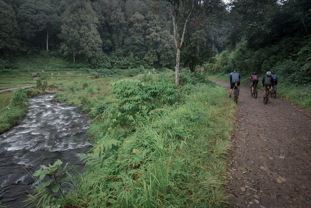
Just like the previous year’s event by the same organizer, the 125 km, 1,700 m of elevation gain ride, started with casual pace—easy pedaling, lots of breaks, lots of waiting for slower riding buddies. There were punchy climbs, indeed, but still relatively manageable. All in all, it was a casual fun ride like I supposed it to be.
Until the rain hit us.
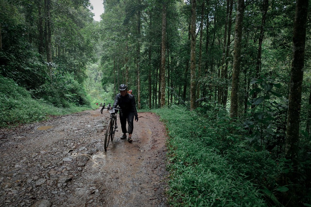
It was my coldest ride ever; for the first time, I put on my rain jacket, and kept on wearing it all the way back home, 88 km and 8.5 hours later. My torso was dry, but everything else was wet and cold.
On the other hand, drenched hills and fleeting mist did bring out the hidden, natural beauty of the landscape. Despite the struggle with mud on singletrack segment, I found myself immersed in deep sense of awe, from time to time. For that, I was grateful.
***
“Someone crashed and broke his collar bone.”
That was what we overheard from the event’s photographers, when @ramdaniryaan and I were waiting, patiently, for our stewed noodle in checkpoint 2, km 105 of the ride. We knew such an accident would happen; drenched by the rain, the rolling rocky road of Gunung Halu was slippery. We even passed 3 cyclists whose tires succumbed to the rough road’s beatings, including the event’s CEO/route master, @sugih_migraph .
But we had so much fun back then. Speeding through the rolling rocky road was thrilling, and splashing through water puddles brought back joyful childhood memory. And when the road transitioned to flowy concrete road, we pushed the bike and railed corners like we were on a rollercoaster. All in all, we were having a good time.
Only much later, we learned that many crashed on one of those slippery concrete corners.
Looking back now, it could have happened to us too. But it didn’t. We made it to the finish line tired and wet, but with relatively minor complications nonetheless. For that, I was grateful.
Special thanks to Graventuria for excellent event and route! And for those who crashed along the route, wishing you all speedy recovery, and soon be ready for next adventure!
Cycling Trip Stats:
- Distance: 125.9 km
- Total Ascent: 1,781 m
- Max Elevation: 1,391 m asl
- % Unpaved: 28%
- % Singletrack: 1.6%
- % Rideable time: 100%